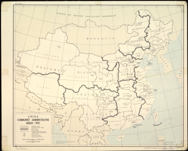
Detail View: Old Maps Collection: China, communist administrative areas 1952
|
Barcode:
|
4687820500591
|
|
Title:
|
China, communist administrative areas 1952
|
|
Original Title:
|
China, communist administrative areas 1952
|
|
Contributor:
|
United States. Central Intelligence Agency
|
|
Category:
|
General Maps
|
|
Type:
|
Printed
|
|
Language:
|
English
|
|
Create Year:
|
1952
|
|
Format:
|
JPEG2000, 9175 × 7369, 8.5MB
|
|
Scale:
|
ca. 1:10,000,000
|
|
Physical Map Dimension (cm):
|
43 × 52
|
|
Note:
|
"12276 4-52." "GPO-SSO-8177."
|
|
Note:
|
Macao was marked on coast of Pearl River Estuary in this map.
|
|
Note:
|
Macao in China Maps
|
|
Subject:
|
Administrative and political divisions
|
|
Geographic Area:
|
China
|
|
Pub Author:
|
United States. Central Intelligence Agency
|
|
Pub Year:
|
1952
|
|
Pub location:
|
Washington, D.C.
|
|
Provenance:
|
Library of Congress Map Collections
|