Detail View: Old Maps Collection: Korea, East China and Japan
|
Barcode:
|
4687820500296
|
|
Title:
|
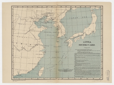
Korea, East China and Japan
|
|
Original Title:
|
Korea, East China and Japan
|
|
Contributor:
|
Ourand, Charles H.
|
|
Category:
|
Thematic Maps
|
|
Type:
|
Printed
|
|
Language:
|
English
|
|
Create Year:
|
1894
|
|
Format:
|
JPEG, 11950 × 8950, 28.5MB
|
|
Scale:
|
1:7,500,000 (E 111°38ʹ00ʺ--E 143°37ʹ00ʺ/N 43°36ʹ00ʺ--N 21°23ʹ00ʺ)
|
|
Physical Map Dimension (cm):
|
32 × 39
|
|
Note:
|
Includes "Information notes."
|
|
Note:
|
Macao was marked in the middle of Pearl River Estuary in this map.
|
|
Note:
|
Macao in Asia Maps
|
|
Subject:
|
Coasts
|
|
Geographic Area:
|
Japan
|
|
Geographic Area:
|
East Asia
|
|
Geographic Area:
|
Korea
|
|
Pub Author:
|
Ourand, Charles H.
|
|
Pub Year:
|
[1894]
|
|
Pub location:
|
Harvard Map Collection - Harvard College Library
|
|
Provenance:
|
Harvard Map Collection
|